Oleh Prof. Ts. Dr. Mohd Fadzil Mohd Akhir, Pengarah, Institut Oseanografi dan Sekitaran (INOS)
Dr Zuraini Zainol was on a boat, diligently measuring the speed and direction of the current of the Setiu Lagoon water as part of her data collection. Suddenly, the current metre she was using was knocked off by the boat’s propeller, causing the device to disappear into the water. For a while, Dr Zuraini felt so dejected.
She was lucky that the instrument was later recovered, and luckier the captured data was not lost. That unfortunate experience was among the several she had to go through along her PhD journey.
Despite the many hiccups she faced, Dr Zuraini managed to successfully complete her research on the hydrodynamic and water quality at Terengganu’s Setiu Wetlands.
Her research is considered significant as it is one of the too few studies covering the southeast area of the wetland. Her valuable work may provide help in managing wetland restoration and enhancement projects, determining the best possible location for productive aquaculture farms, and controlling pollution at the area.
Dr Zuraini’s first introduction to oceanic studies occurred when she was studying marine science as an undergraduate at UMT. It did not take her long to develop a love for the field. After graduating with Distinction, she was offered to pursue her master’s degree at UMT in physical oceanography, under the supervision of Professor Dr Mohd Fadzil Mohd Akhir, a researcher at the Institute of Oceanography and Environment (INOS) and one of the leading minds in oceanography in the country.
Based on her excellent track record, Dr Zuraini was subsequently awarded UMT’s Tuanku Chancellor Scholarship to pursue her PhD study. Having developed a close bond with UMT, she chose to register as a PhD student at INOS, with the same Professor Fadzil as her supervisor.
When it came time to decide on her research, Dr Zuraini sought advice from her supervisor, and both agreed she would study the hydrodynamic and water quality at Setiu Wetland.
23,000-hectare Wetland
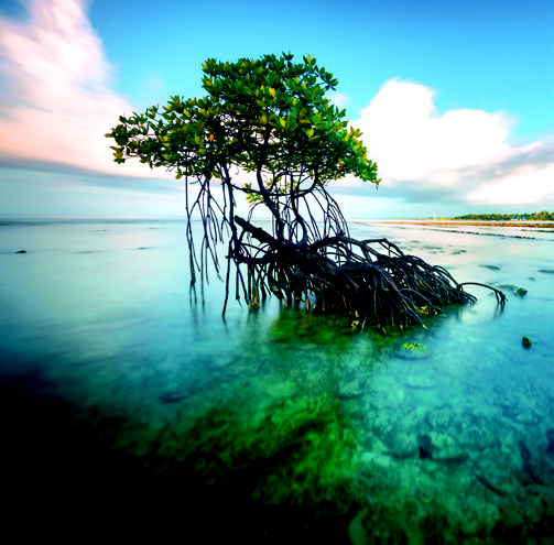
Setiu Wetland is located in the state of Terengganu, Malaysia, about 60 kilometres northwest of the Kuala Terengganu city. It is a 23,000-hectare wetland, comprising mangroves, freshwater swamps, forests lining the riverbanks, brackish water lagoon with vegetated sand islands, seagrass beds, and sandy beaches. The two major freshwater inputs at Setiu Wetland are through the Setiu River and Berambak Lake. The wetland is connected to the South China Sea through a small river inlet of about 100 metres wide.
The economic activities of the locals at Setiu Wetland are primarily aquaculture-based, such as brackish water cage culture, pond culture, pen culture, and oyster farming. The upstream area of Setiu Wetland is dominated by agricultural activities, as evidenced by the presence of palm oil plantations.
Setiu Wetland has experienced shoreline alteration due to seasonal wave energy along the coastline, especially during the northeast monsoon, where continuous actions of wind, current, and nearshore waves have led to the opening and closing of the river mouths and the appearance of new islands within the wetland.
Dr Zuraini chose Setiu Wetland as her study’s location because an understanding of hydrodynamic in this area is still sparse, despite all the previous studies conducted. More importantly, almost all the earlier studies were concentrated around the old river inlet located 4 kilometres to the north of the current river inlet, but the old inlet was naturally closed in 2015.
The repositioning of the river inlet has raised questions, such as how the current flow in the lagoon has changed and how capable this ecosystem is in maintaining its water quality since most of the sources of anthropogenic activities are situated at the old inlet.
The old inlet is the area where all the seafood-based local delicacies industry and aquaculture activities are concentrated at. Previously, it can be assumed that any pollutants were easily flushed out from the wetland due to the nearby inlet. Somehow, the current inlet is located 4 km away from the old inlet, which raised a question on how the contaminants from these activities could be removed from the wetland.
Research Focus
Therefore, motivated by this issue, Dr Zuraini sought to understand the dynamics of Setiu Wetland from the new river inlet perspective and how efficiently this river mouth would function in removing the contaminants and pollutants from the water body.
Her research is important for several reasons, according to Dr Zuraini. Knowledge gained about the existing water motion and transport processes in Setiu Wetland will be useful in managing the wetland restoration and enhancement projects. In addition, hydrodynamic and ecological information can assist the Department of Fisheries and local committees in determining the best possible location for productive aquaculture farms, as Setiu Wetland is fast developing into a hub of aquaculture activities, and these will support the livelihood of the locals. Also, determination of residence time in Setiu Wetland is believed to help in coastal management and ecological sustainability purposes, especially those related to pollution control.
The study was guided by three objectives, namely, to investigate the tidal influence of Setiu Wetland towards changes in hydrodynamic and water quality, to investigate the residence time within the Setiu Lagoon and how it affects the phytoplankton biomass and nutrients concentration, and to identify the temporal and spatial scales of pollutant transport and distribution associated with river discharges from a coastal management and ecological sustainability perspective.
To achieve the objectives of her study, Dr Zuraini carried out research samplings at three different times of the year that corresponded with the dry period of northeast monsoon, southwest monsoon, and wet period of northeast monsoon, they being February, August, and December. Since the study also aimed to observe the interaction between seawater and freshwater, Dr Zuraini positioned ten sampling stations randomly within the four-kilometre river inlet area.
Dr Zuraini collected three kinds of data, which were measurements of physical parameters, nutrients and chlorophyll a analyses, and supplementary data. Physical parameters included temperature, salinity, depth, and current speed and direction. Water samples for nutrient and chlorophyll a analysis purposes were collected at 0.5 metre depth due to the shallow water. Supplementary data included daily rainfall amount and river flow, obtained from the Department of Irrigation and Drainage, and hourly water level, acquired from the tide table provided by National Hydrographic Centre.
Statistical analysis was performed on the environmental parameters to demonstrate relationships among variables. Numerical modelling was also executed to improve the restrictions of field observations while providing a better understanding of the dynamics of the water body.
Meaningful Results
The results indicated that the current flow in Setiu Lagoon was dictated by the sea tides; it followed the ebb (the movement of the tide out to sea), flood, neap (a less than average tide occurring at the first and third quarters of the moon), and spring tide cycles. The larger size of Setiu River produced a slightly stronger tidal current at the south of the river inlet area. Freshwater discharge played a great role in modulating the physical characteristics of the lagoon, giving rise to the arrangement and formation of salt wedges, especially during the northeast monsoon, where heavy rainfalls were documented. Sufficient nutrients supplied through the river flows controlled the distribution of phytoplankton biomass (microscopic marine algae) in Setiu Lagoon. Longer water residence time near the aquaculture farms corresponded well with high chlorophyll a concentrations, thus raising a concern on its water quality due to the poor flushing and minimal water exchange. Further research with extensive field samplings and numerical experiments is required to strengthen the knowledge about this shallow and narrow coastal lagoon.
The output of the research has been published in reputable journals like the Marine Pollution Bulletin and the Regional Studies in Marine Sciences. Dr Zuraini has also presented her works at the 10th West Pacific International Scientific Conference, in Qingdao, China, and the 57th Estuarine and Coastal Sciences Association, in Perth, Australia.
Conducted at a location not yet widely explored by other scientists, Dr Zuraini’s research may become the impetus for other studies at the area.
Her patience and resilience paid off when she was able to successfully complete her study at Setiu Wetland amidst several unfortunate incidents that disrupted her progress.
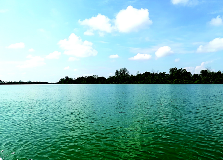
Unique Setiu Wetlands with nine interconnected ecosystems
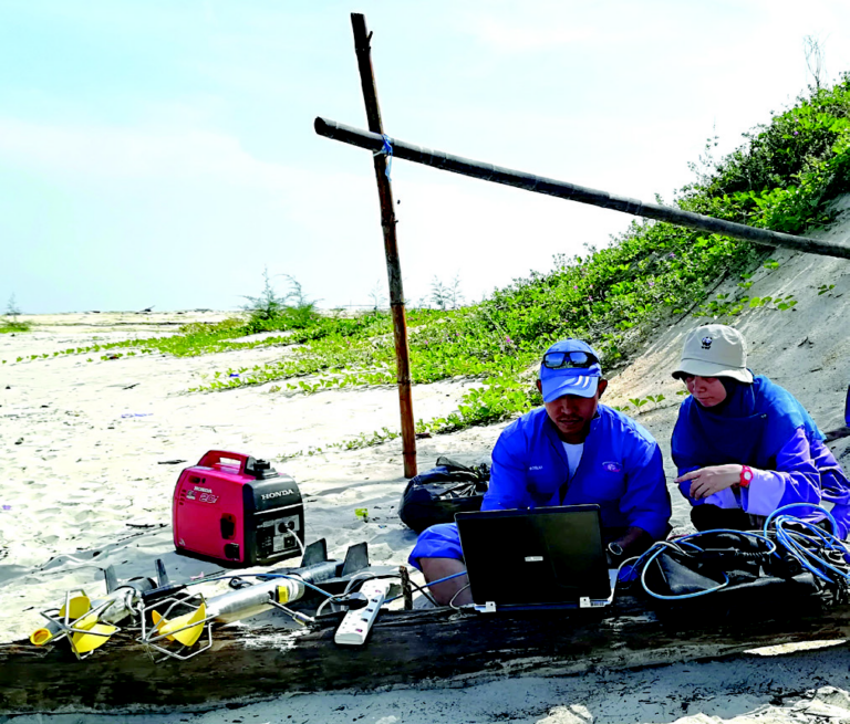
Setting up current meters for deployment
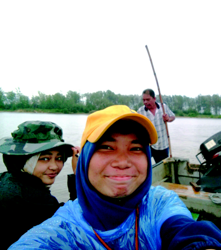
A shallow nature of the Setiu Lagoon increases challenges in data acquisition
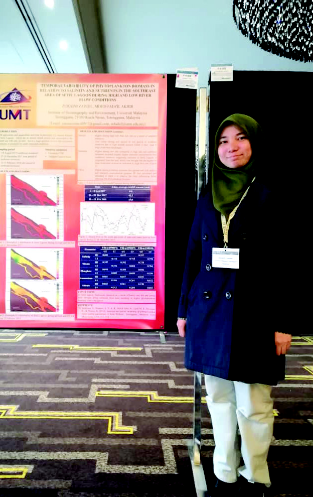
Presenting her work at the 57th Estuarine and Coastal Sciences Association in Perth, Australia
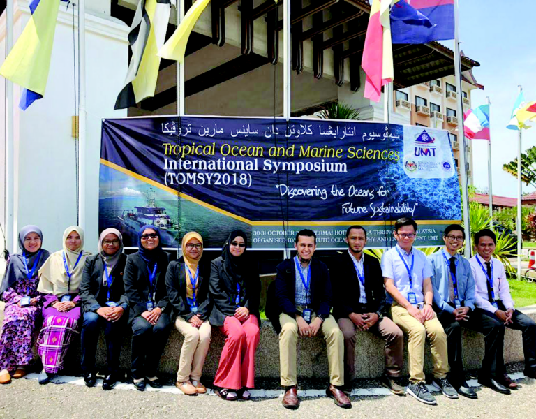
Participating in the Tropical Ocean and Marine Sciences International Symposium (TOMSY) 2018 with Coastal Oceanography Dynamic (COD) research team members

Copyright © INOS | Institute of Oceanography and Environment | Universiti Malaysia Terenganu | 2024. All rights reserved.