Written by: Zainudin Bachok & Siti Tafzilmeriam Sheikh Abdul Kadir
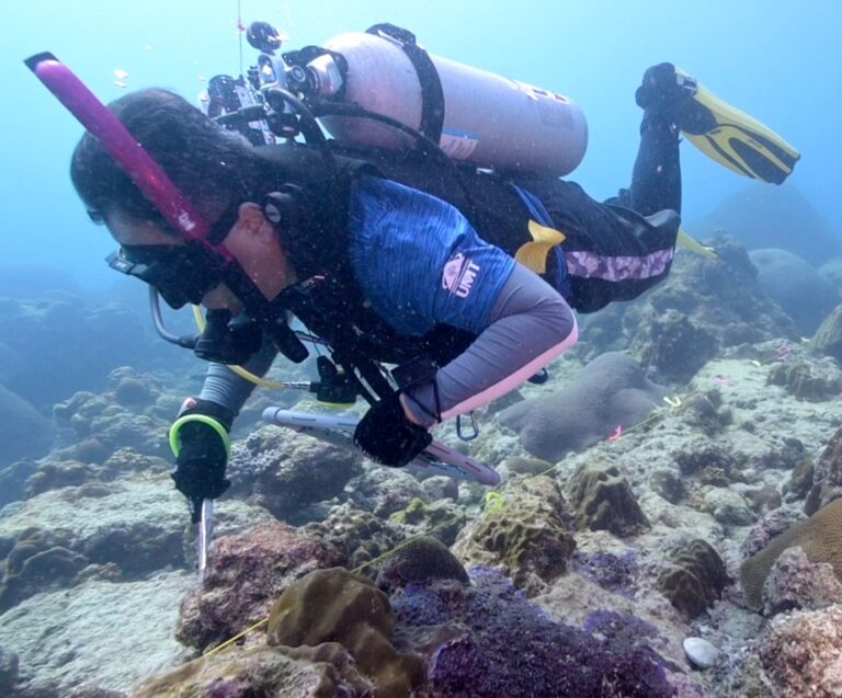
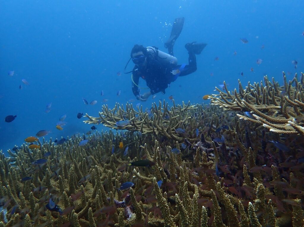
Field surveys at reef ecosystems involve SCUBA diving, as well as the use of innovative techniques such as coral video transects (CVT), stereo-fish underwater video (Stereo-FUV), multi-beam echo sounders (MBES), drones, and USBL underwater positioning. Omic technology, fatty acid markers, stable isotopes, and DNA methods are used to analyze living tissues. To enhance this research, INOS also maintains well-maintained coral microcosm systems providing opportunities to perform global change simulations under controlled conditions.
INOS has also contributed significantly to the coral reef research community by developing a new survey method using digital waterproof cameras. This affordable and more user-friendly method has been officially recognized as the most efficient survey method in Malaysia. INOS also works closely with the Marine Parks to produce new indexing systems to measure and monitor coral health, which is now being used nationwide as a baseline assessment of coral community structure crucial for identifying reef areas susceptible to stress conditions.
To efficiently manage and protect large-scale reef ecosystems, studies on their ecological communities require a satellite or airborne images with excellent spatial resolution. Significant time and resources in collecting data, mapping and monitoring vast ocean areas can be saved through the use of drones – they provide better spatial, temporal, and radiometric resolution than any airborne or satellite platform.
All information is mapped through GIS approaches, which create, manage, analyze, and categorize all data types. Maps of different layers, such as coral reef and associated organisms distribution maps, detailed bathymetry and seafloor maps are produced. Location data is integrated with all types of descriptive information to help understand patterns.