The course provides an introduction for marine data managers to the application of Geographic Information Systems (GIS) to the marine environment using ArcGIS software. This includes acquisition, processing, analysis, and interpretation of data to create products in support of marine and coastal programs.
Aims and Objectives:
– Provide an introduction to GIS for marine applications
– Focus on some publicly available marine datasets
– Show the potential applications of GIS for the marine environment
Learning Outcomes
– Knowledge and understanding of GIS, spatial data, raster and vector models
– Core tasks involved in the GIS analysis process including data acquisition, management, manipulation and analysis, and presentation and output
– Core functionality of ArcMap, Arc Catalogue and Arc Toolbox
– Creating and editing spatial data
– Awareness of coastal and marine GIS data applications
Target Audience
Target audiences include, but are not limited to, the following:
– Marine data managers
– Staff of NODCs working with Marine Geographic Information Systems
– University graduates
NOTE: priority will be given to participants originating from South Eastern Asia and Pacific Islands.
UNESCO is committed to promote gender equality. Therefore applications from women are strongly encouraged.
Course Pre-requisites:
• Candidates should have a working knowledge of marine data and formats and preferably be working in institution which is responsible for the management of marine data
• This training course is not an introduction to GIS so candidates are expected to have some previous experience in the use of GIS
• Working knowledge of English.
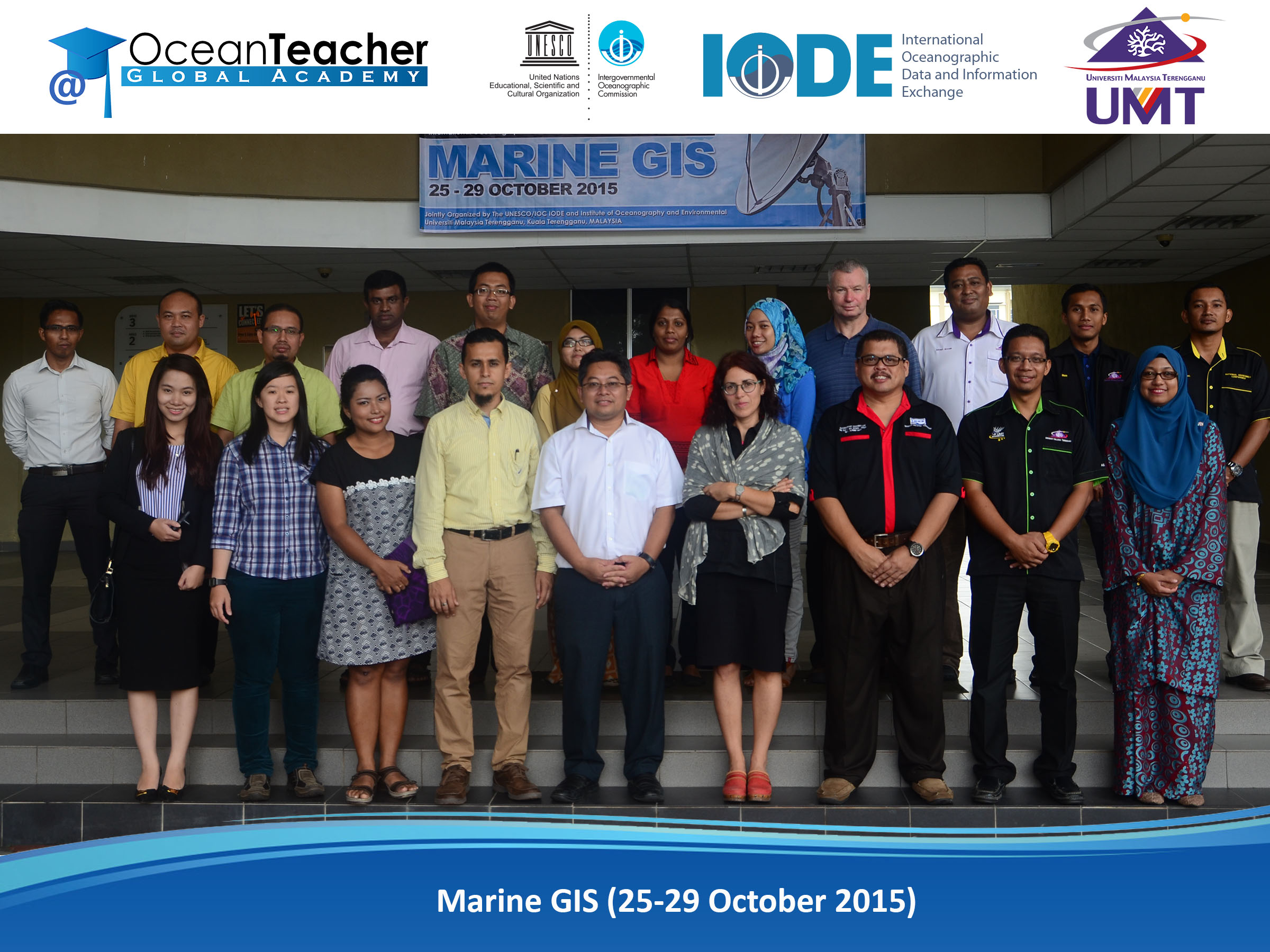
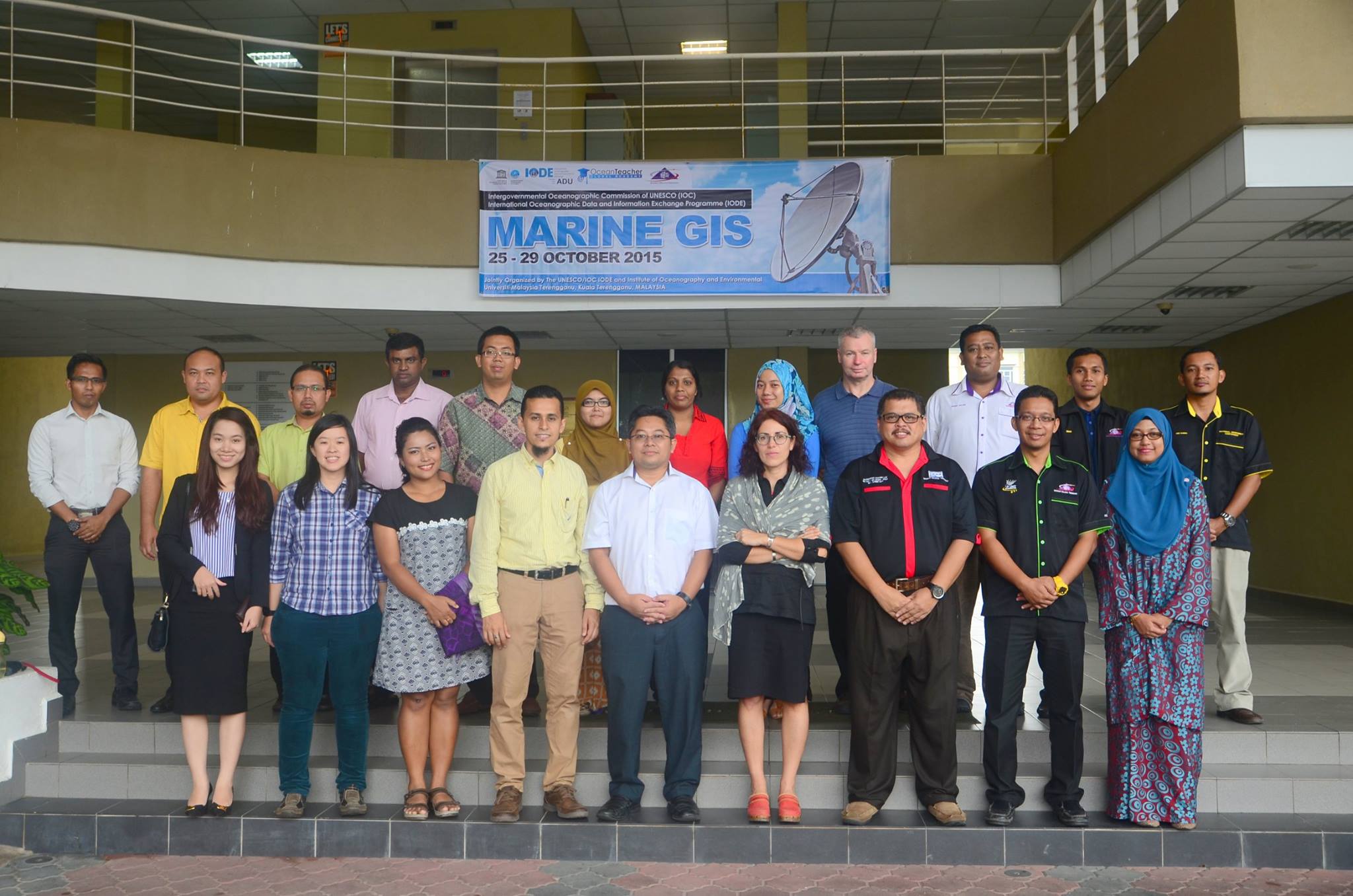
Source: Ocean Teacher Global Academy
| TRAINERS | |
| Aidy M MUSLIM | Malaysia |
| Mohd Fadzil MOHD AKHIR | Malaysia |
| Mohd Zulkamal RADZI | Malaysia |
| INTERNATIONAL PARTICIPANTS | |
| Rizki HANINTYO | Indonesia |
| Mai DAO | Vietnam |
| Kevin MACKAY | New Zealand |
| Sinhalage Udaya Priyantha JINADASA | Sri Lanka |
| Anusha WIJESUNDARA | Sri Lanka |
| Sitakarn TAWISUWAN | Thailand |
| LOCAL PARTICIPANTS | |
| Sing Tung TENG | Malaysia |
| Khairul MOHAMMED | Malaysia |
| Mohamad Zaid SAPII | Malaysia |
| Ali SYIKIN | Malaysia |
| Amin Noorasid BIN ABDUL JALIL | Malaysia |
| Abdul Rahman BIN JUSOH | Malaysia |
| Noran Alwakhir BIN SHAARANI | Malaysia |
| Vivian KUIT | Malaysia |
| Mohd Azam MAT YAACOB | Malaysia |
| Mohd Nasir MOHAMAD | Malaysia |
[youtube height=”315″ width=”560″]https://www.youtube.com/watch?v=NoEzo9Ux8qc[/youtube]