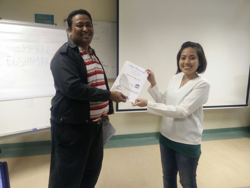
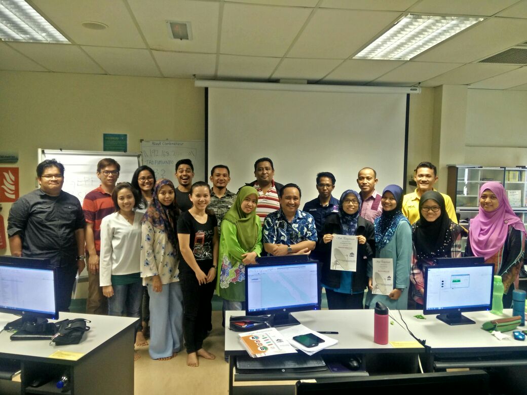
Kursus Asas Aplikasi ArcGIS anjuran Makmal Oseanografi Satelit & Informatik Marin.
3-5 Januari 2016.

Pemudahcara: En Mohd Nasir Mohamad dan En Azri Muhamad.

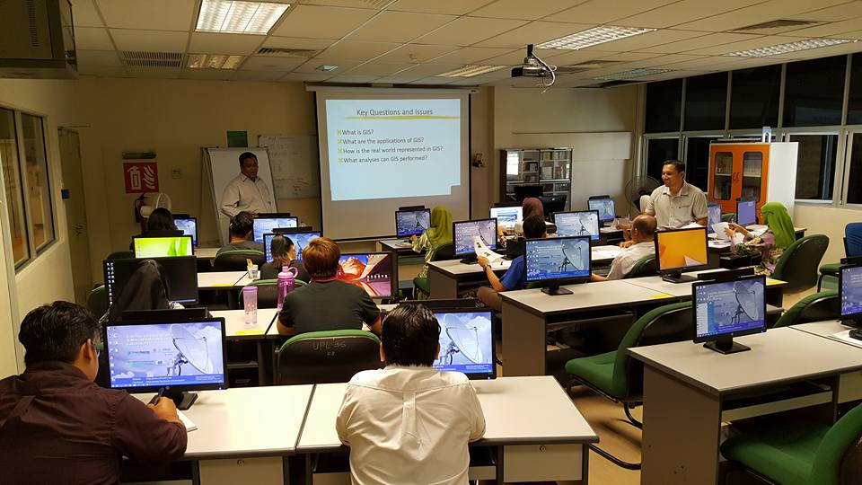
Modul kursus merangkumi

1. Pengenalan Asas ArcGIS.

2. Digitasi peta daripada Google Earth.

3. Ekstrak xyz dari Google Earth.

4. Menghasilkan ” Distribution Map, Contour Map, and Bubble Map”.

5. Menghasilkan “physical map”.

img-20170119-wa0020img-20170119-wa0013img-20170119-wa0014img-20170119-wa0015img-20170119-wa0016img-20170119-wa0017img-20170119-wa0019
img-20170119-wa0024

123

Abstract

While the sinking formation of Antarctic Bottom Water (AABW) is well understood, how this bottom water "returns home" through upwelling within ocean basins, particularly the Indo-Pacific, remains shrouded in uncertainty. In the 1960s, Munk’s classic "Abyssal Recipes" theory sought to explain these abyssal flows, yet later observations exposed two significant conflicts with real-world data. In 2016, Ferrari, McDougall, and colleagues proposed the "Towards a New Abyssal Recipe" framework, introducing bottom boundary layer (BBL) upwelling to address Munk’s inconsistencies. Drawing on recent evidence of a potential cooling trend in the deep ocean, this talk revisits these debates, offering a fresh interpretation of Munk’s discrepancies and proposing a new mechanism for abyssal upwelling in the Indo-Pacific. It contributes to the ongoing quest to unravel how bottom waters complete their global journey.

Presented by: Prof. Dr. HAN Lei
Affiliation: China-ASEAN College of Marine Science, Xiamen University, Malaysia
Address: Sepang, Selangor, Malaysia


This will close in 0 seconds