Geohazard Seminar & Webinar Series 2025:
Adaptation, Mitigation and Community Role
By Effi Helmy Ariffin (INOS)
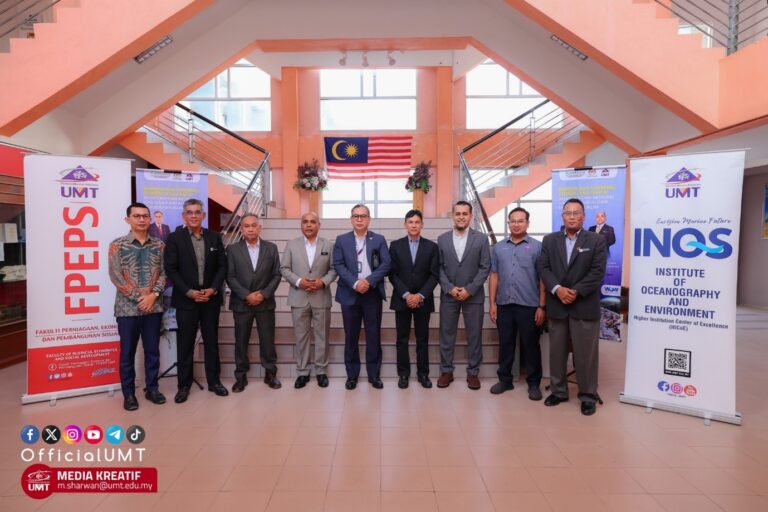
The Institute of Oceanography and Environment (INOS), Universiti Malaysia Terengganu (UMT), in collaboration with PLANMalaysia, successfully organised the 2025 Coastal Geohazard Webinar Series from February to April 2025. The series culminated in the Coastal Geohazard Seminar: Adaptation and Mitigation of Coastal Erosion and Climate Change Impacts, held on 30 June 2025 at Auditorium Mahyudin, UMT.
This initiative was prompted by the worsening coastal erosion affecting Kuala Nerus, Terengganu, earlier in the year. The main objectives were to mainstream geohazard management, raise public awareness and preparedness, encourage community participation through Community-Based Disaster Risk Management (CBDRM), and develop a Special Action Plan (Pelan Tindakan Khas, PTK) for coastal erosion risk reduction.
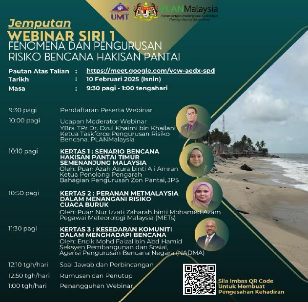
Webinar Series 1: Phenomena and Risk Management
(10 February 2025, 273 participants)
The first webinar highlighted the current scenario of coastal erosion on the East Coast, its natural and human-induced causes, and its implications. The session emphasised the role of the Integrated Shoreline Management Plan (ISMP), various mitigation measures (both structural and non-structural), and the implementation of coastal protection projects by the Department of Irrigation and Drainage (JPS).
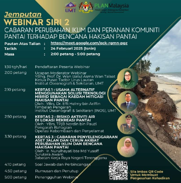
Webinar Series 2: Climate Change Challenges & Community Roles
(24 February 2025, 456 participants)
The second webinar focused on hybrid solutions for coastal mitigation, combining engineering approaches with nature-based methods such as mangrove planting, artificial reefs, and hybrid breakwaters.
The Malaysian Fire & Rescue Department (BOMBA) shared insights on risks of water activities in coastal recreation areas, while the Public Works Department (JKR) Terengganu discussed the challenges of road and slope maintenance due to coastal erosion. The session stressed the need for multi-agency collaboration and community adaptation to climate change impacts.
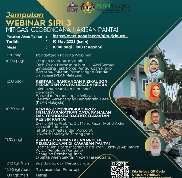
Webinar Series 3: Coastal Geohazard Mitigation
(10 March 2025, 756 participants)
The third webinar presented the Second National Coastal Physical Plan (RFZPPN-2) by PLANMalaysia, including the Coastal Vulnerability Index (CVI) that identifies highly vulnerable coastal areas.
UMT introduced the Malaysia Marine Forecast (MFAST) system – a real-time ocean forecasting tool developed under the UN Ocean Decade Programme – as an innovation to enhance disaster preparedness. The system is now being commercialised through UMT’s start-up ecosystem.
The Department of Environment (DOE) highlighted the importance of Environmental Impact Assessments (EIA) and strict monitoring of coastal developments in erosion-prone areas.
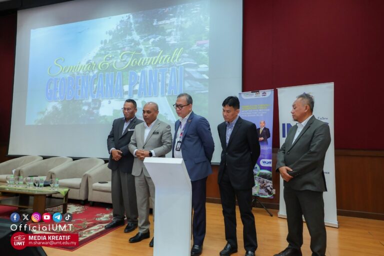
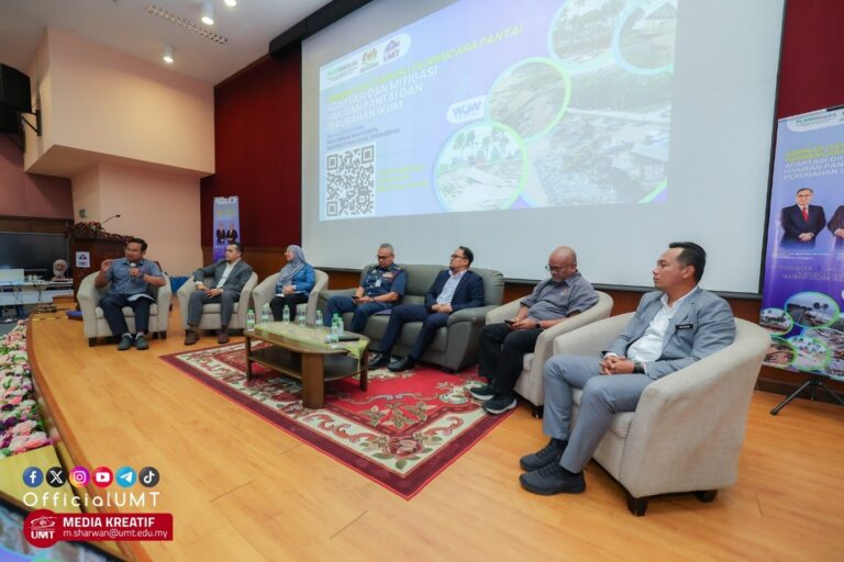
Coastal Geohazard Seminar 2025: Culminating Event
The final seminar gathered experts, government agencies, NGOs, industry, and coastal communities to discuss adaptation and mitigation strategies for coastal erosion and climate change. A forum and townhall session allowed local communities to share experiences and propose practical solutions.
The seminar was officiated by UMT Vice Chancellor, Prof. Ts. Dr. Mohd Zamri Ibrahim, who emphasised UMT’s role as a centre of excellence in marine and coastal sciences. Meanwhile, General Director of PLANMalaysia, Dato’ Alias Rameli, delivered the keynote address, showing the importance of marine spatial planning in Malaysia’s sustainable development agenda.
In conclusion, the Coastal Geo Webinar Series and Seminar 2025 demonstrated strategic collaboration by combining academic expertise, government policies, and community engagement for addressing the pressing issues of coastal erosion and climate change. INOS-UMT remains committed to leading research, innovation, and policy advocacy in coastal disaster risk reduction, aligned with the Second National Coastal Physical Plan (RFZPPN-2) and Malaysia’s sustainable development goals.