By Assoc. Prof. Dr. Aidy M Muslim,
Head of Remote Sensing Group
Mapping ocean environments is an essential activity to help understand their health and monitor changes related to environmental drivers. In order to efficiently manage and protect critical ecosystems detailed information on distribution, extent and health of the environment is required. Large-scale studies on ecosystems such as corals reefs and their ecological communities require a satellite or airborne images with an excellent spatial resolution. This remote sensing approach is the process of detecting and monitoring the physical characteristics of the earth at a distance (typically from satellite or aircraft). Special cameras collect images, which help researchers “sense” things about the earth. Unmanned aerial vehicle (UAV)/ Drones is characterized by better spatial, temporal, and radiometric resolution than any airborne or satellite platform. Thanks to rapidly improving technology, durability and artificial intelligence, these unmanned systems also show significant promise in the field of ocean research. Researchers can save significant time and resources by collecting data, mapping and monitoring vastareas of ocean. Consumer UAV is equipped with standard RGB cameras capturing visible light which are for videography and capturing images. Research purposes require more diverse and sensitive sensor capable of capturing various data at different wavelengths. Technological advancement and miniaturization of sensors have enabled previously bulky sensors to be fitted on UAV’s opening various research possibilities such as benthic, coastal and bathymetry mapping. Currently, various Multispectral, vision, LiDAR and photogrammetry camera sensors are commercially available.
Can drone help us save the ocean?
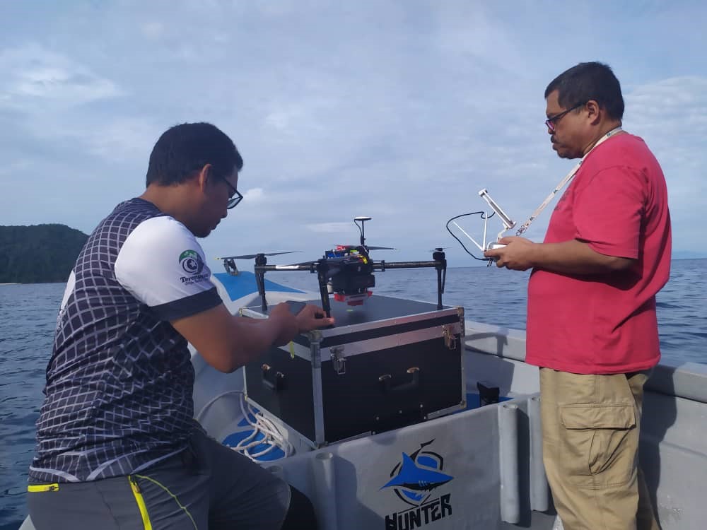
The UAV team at the Institute of Oceanography and Environment (INOS) was established in 2015 with the idea of exploring potential applications, especially in the field of marine sciences. It all started with the purchase of a DJI Phantom 2 drone, and this has since been expanded to also consist of DJI Matrice 100, Foxtech VTOL and Tarot X4 960 Carbon Fiber quadcopter. To enable scientific data collection INOS has acquired several Multispectral cameras which includes Micasense RedEdge and MAPIR3 survey. Using these INOS has embarked on various projects amongst them Coastal erosion studies, Coral habitat mapping of various marine parks, 3D Mapping, Mangrove classification and bathymetric studies. Even though INOS has mostly focused on research activities, we also embark on consultancy and collaborative projects. Amongst our collaborators are The Department of Marine parks Malaysia, Department of Mineral and Geoscience Malaysia and local authorities.
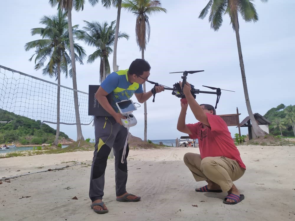
To enhance capacity and promote the application of UAV technology, the team has conducted training to various government and private agencies on the basics, operational and research aspects of UAV. These initiatives hopefully, will encourage and expose users to the capabilities and advantages of UAV in enabling better environmental monitoring.
With further advancement in UAV technology and reduction in cost, we believe its application is limitless. Increased flight time and better sensors will enable users to cost-effectively and continuously monitor our environment. In short, UAV is fundamentally changing the way we monitor and manage our environment.