International Exhibition at UMT – Transparent Fish Secrets

[youtube height=”270″ width=”480″]https://www.youtube.com/watch?v=WptutduDYZI&feature=youtu.be[/youtube] _____ ___ INTERNATIONAL EXHIBITION AT UMT- TRANSPARENT FISH SECRETS ***************************************************************** 17 August 2017 – November 2017 Venue: INOS Research Gallery, Institute of Oceanography and Environment, Universiti Malaysia Terengganu. 9.00 am – 1.00 pm, 2.00 pm – 4.30 pm everyday (Sunday to Saturday) excepts public holidays. CLOSE 31 OGOS-3 SEPTEMBER 2017 (Thursday-Sunday) 9 […]
User Acceptance Test (UAT) bagi portal Malaysia National Oceanographic Data Centre ( MyNODC )
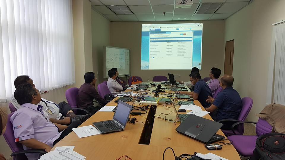
Sesi User Acceptance Test (UAT) bagi portal Malaysia National Oceanographic Data Centre ( MyNODC ) versi baharu telah berlangsung pada 29 & 30 Mei 2017 (Isnin & Selasa) bertempat di MIMOS Berhad, Technology Park Malaysia. Peserta yang terlibat adalah dari Universiti Malaysia Terengganu, Universiti Kebangsaan Malaysia dan pihak MOSTI.
World Oceans Week (WOW) 2017 in UMT
____________ ____ KARNIVAL WORLD OCEANS WEEK (WOW2017) (PAMERAN & PELBAGAI AKTIVITI) Pada 13 Mei 2017 (Sabtu) di Pantai Teluk Ketapang Bil. Masa Program Penganjur / Urusetia 1. 08:00 am – 18:00 pm PAMERAN KESEDARAN MARIN DAN LAUT SEMPENA KARNIVAL WOW2017 à OLEH PUSAT PENGAJIAN DAN INSTITUT PENYELIDIKAN à Pemeriksaan Kesihatan Komuniti Setempat oleh Pusat Kesihatan Universiti […]
INOS di Pameran LIMA Langkawi 2017
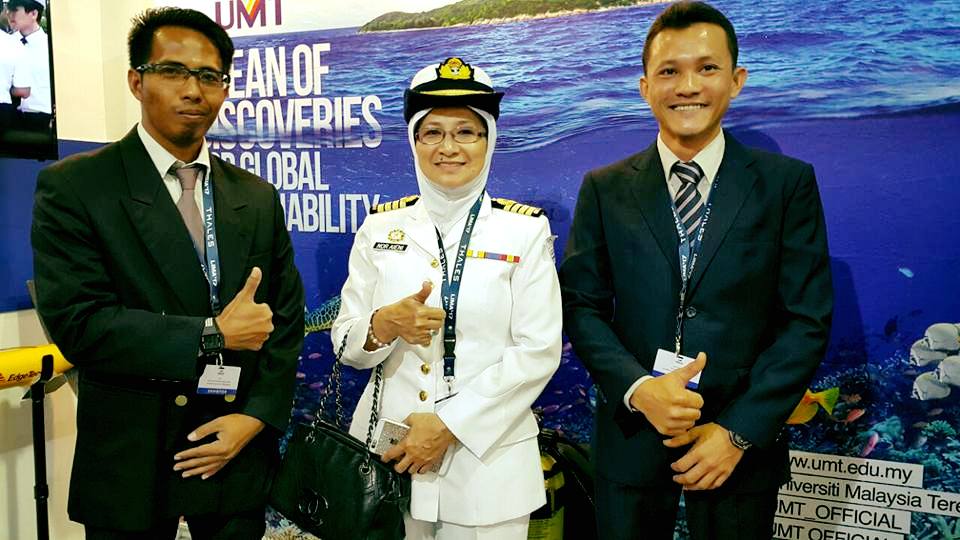
Pada tahun 2017, INOS sekali lagi diberi kepercayaan untuk menyertai Pameran LIMA 2017 yang berlangsung di Pulau Lagenda, Pulau Langkawi. Staf INOS yang terlibat adalah En Tan Hock Seng (Pegawai Sains) dan En Azri Muhamad (Penolong Pegawai Sains). Antara peralatan saintifik yang dipamerkan adalah Side Scan Sonar, Model RV Discovery dan Siti Maya. Semoga penyertaan […]
Seminar Penyelidikan Jabatan Taman Laut Malaysia 2017
ATURCARA MAJLIS PERASMIAN SEMINAR PENYELIDIKAN 2017 JABATAN TAMAN LAUT MALAYSIA “Strategic Partnership on Conservation of Marine Biodiversity in Marine Park” TARIKH : 7 Mac 2017 (Selasa) TEMPAT : Auditorium INOS, UMT, Terengganu Masa Aktiviti 0830 – 0845 Pendaftaran Peserta Seminar 0845 – 0900 Ketibaan VIP 0900 – 0905 Bacaan Doa 0905 – […]
Bengkel Latihan Terumbu Karang (Survei Terumbu Karang dan Analisa)
BENGKEL LATIHAN TERUMBU KARANG (SURVEI TERUMBU KARANG DAN ANALISA) TEMPAT : BILIK SEMINAR INOS 24-25 JANUARI 2017
Kursus Asas Aplikasi ArcGIS anjuran Makmal Oseanografi Satelit & Informatik Marin
Kursus Asas Aplikasi ArcGIS anjuran Makmal Oseanografi Satelit & Informatik Marin. 3-5 Januari 2016. Pemudahcara: En Mohd Nasir Mohamad dan En Azri Muhamad. Modul kursus merangkumi 1. Pengenalan Asas ArcGIS. 2. Digitasi peta daripada Google Earth. 3. Ekstrak xyz dari Google Earth. 4. Menghasilkan ” Distribution Map, Contour Map, and Bubble Map”. 5. Menghasilkan “physical […]
The International Conference on Underwater Acoustic for Sustainable Fisheries in Asia (AFAS 2016).
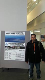
Title: Detection and verification of Artificial Reefs in Northen Portion of Straits of Malacca by using Side Scan sonar – Dr. Azizi Ali (Research Officer) THE INTERNATIONAL CONFERENCE ON UNDERWATER ACOUATIC FOR SUSTAINABLE FISHERIES IN ASIA. (AFAS 2016) 21-23 November 2016, Hakodate, Japan. DETECTION AND VERIFICATION OF ARTIFICIAL REEFS IN THE NORTHERN PORTION OF THE […]
OTGA Training Course: Metadata using GeoNetwork
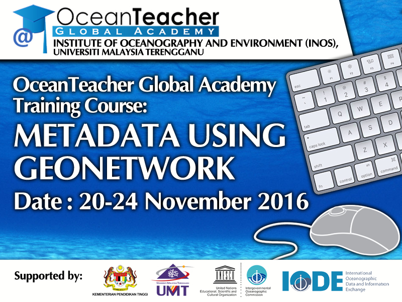
Overview This course introduces the concept, development, applications and evaluation of metadata. Through a combination of practical exercises, participants will critically examine metadata issues, standards, and best practices, and will evaluate the role of metadata in Ocean data management. Objectives •To introduce Marine Data Managers to the concept of metadata •To introduce metadata standards […]
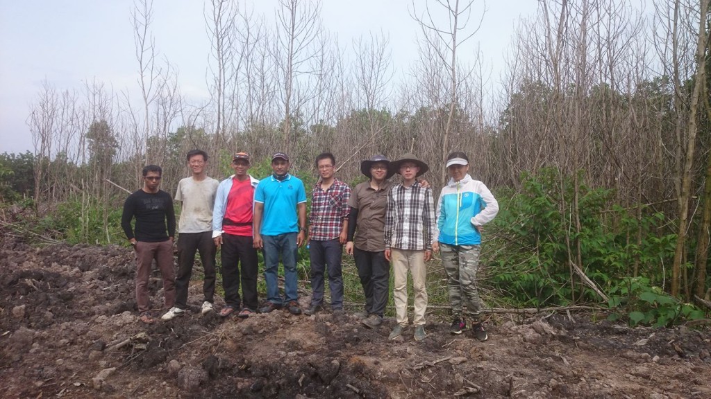
Research Collaboration between UMT and Hong Kong University