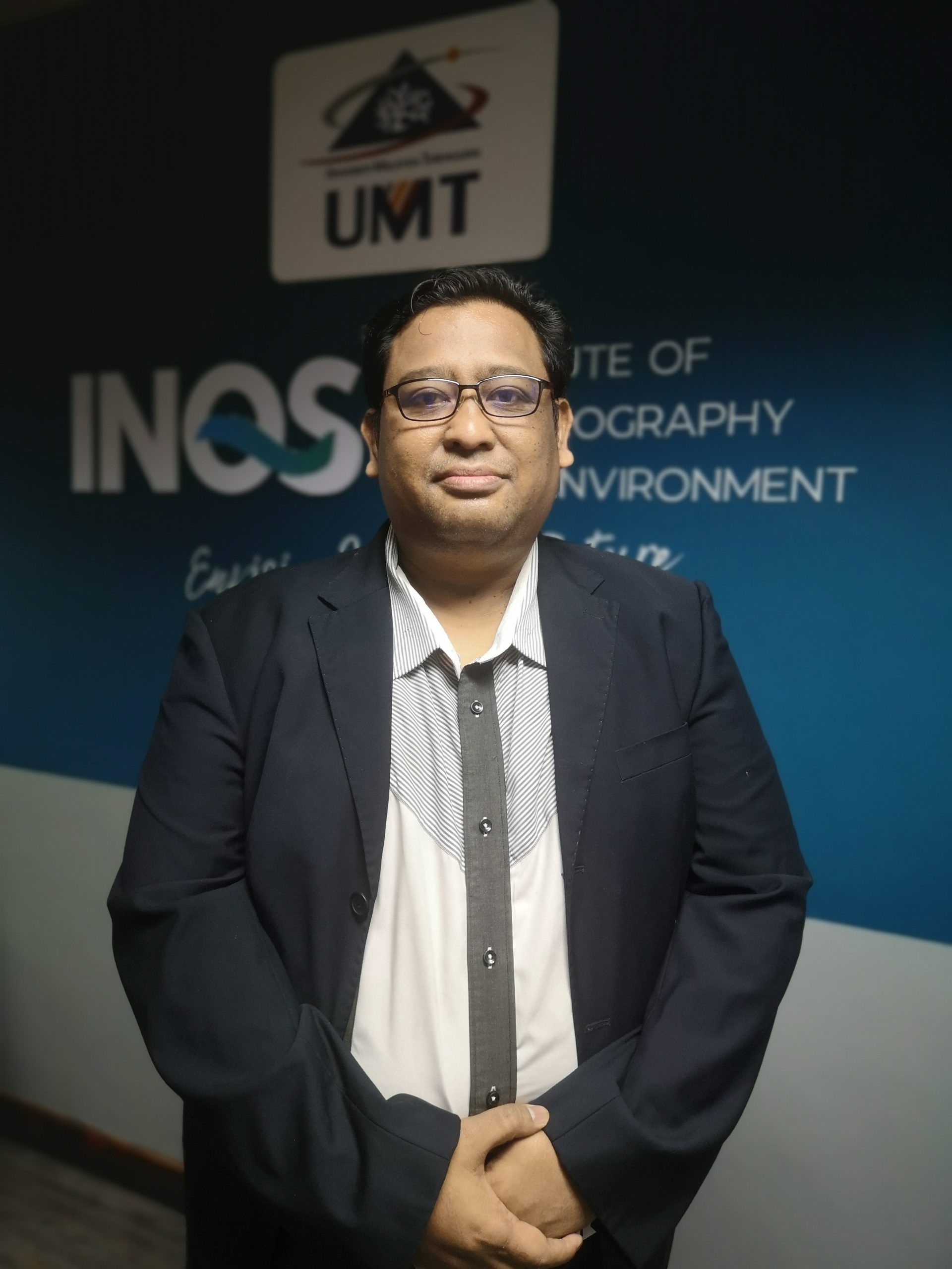
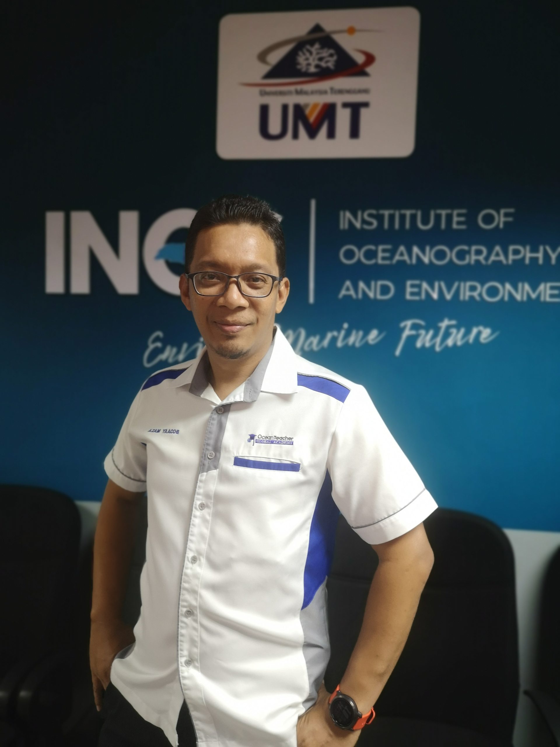
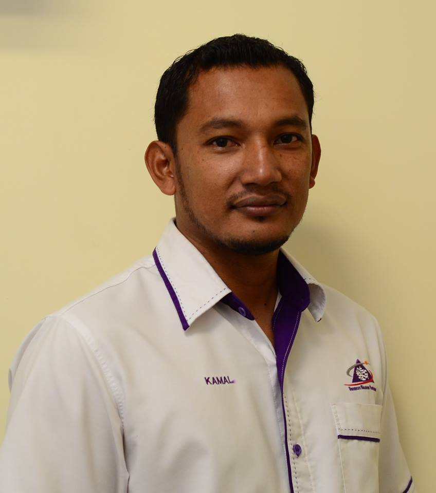
Marine Informatics & Satellite Oceanography Laboratory (OSIM) is run by experienced officers in the field of marine GIS and Remote Sensing, providing technical assistance services to researchers, students and other internal/external users. Our main focus is on the implementation of systematic data management and mobilizing the INOS database system.
The laboratory provides comprehensive remote sensing/GIS training services utilizing geo-spatial information based remotely sensed imagery, new and existing GIS data, and ground-based information. The lab is equipped with high-end equipment to assist researcher.
In addition, INOS through OSIM has been internationally recognized as an International Training Centre worldwide, especially in marine research environments. Since 2015, we have successfully organized multiple international courses under the IOC Ocean Teacher Global Academy (OTGA). Our training centre is equipped with advance remote sensing and GIS software, 20 high-end computer, projector, and high-speed internet
Our Main Objectives:
To become the main reference centre and service provider with regards to remote sensing and GIS in Marine sciences.
To provide services as an International Training Center (ITC) and Virtual Learning Center (VLC) in the field of Marine Sciences.
VLC Equipments:
Data Collections / Analysis Equipments:
GIS / Remote Sensing / Survey Softwares:

Laboratory Manager


Copyright © INOS | Institute of Oceanography and Environment | Universiti Malaysia Terenganu | 2024. All rights reserved.