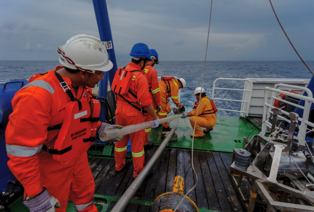
Rising sea-level is no doubt an international threat to coastal cities including in Malaysia. Giving the fact that our neighbour, Indonesia will be relocating its capital city from Java to Kalimantan soon due to sinking, Malaysia must also be prepared with good and proactive action plans. Kuala Terengganu, or known as ‘Waterfront Heritage City’ is among coastal cities in Malaysia, blessed with fascinating and breathtakingly beautiful beaches. With the current rate on sea-level rise, this beautiful city is not exempted from being inundated one day. But do you know, that Kuala Terengganu, or certain parts of this city to be exact, has been underwater for some period of time? And way before that, our coastline was further offshore before it transgressed inland? That is the history of our sea.
Last Glacial Maximum
The Last Glacial Maximum (LGM) refers to the time (ca. 18,000 years ago) when most of the parts of the world was covered in vast ice sheets. During LGM, Borneo, Java, Southeast Asia, and Sumatra were connected to form the Sundaland with a land area of ca. 180 million km2. During the period of lowered sea level (~120 m lower than present day) associated with the LGM, the Sunda Shelf area was subaerially exposed. This expansive (800 km wide) coastal plain linked Peninsular Malaysia to Borneo and was crossed by rivers that discharged their sediment load onto the present-day outer shelf and adjacent continental slope. Meaning that, it was easier for human to migrate from one place to another back then.
Holocene Transgression
Contrary to the LGM, the Holocene Transgression refers to the warmer period (ca. 9,000 to 5,000 years ago), with a thermal maximum around 8,000 years ago. This was the time when the ice melts, and sea-level was at its maximum position, at about 4 m above present mean sea-level. The discovery of well-preserved fossil coral reef, mollusks, and bivalves, located 6-13 km inland from the modern coastline and occur up to 50 cm above mean sea level, southwest of Merang, Terengganu confirms this theory. Subsequently, relative sea-level retreated generally to its present position and in Malaysian seas, the altimeter sea-level time series revealed that since 1993, the mean sea-level has been rising again, at a rate of between 1.42-4.08 mm/year.
Present day
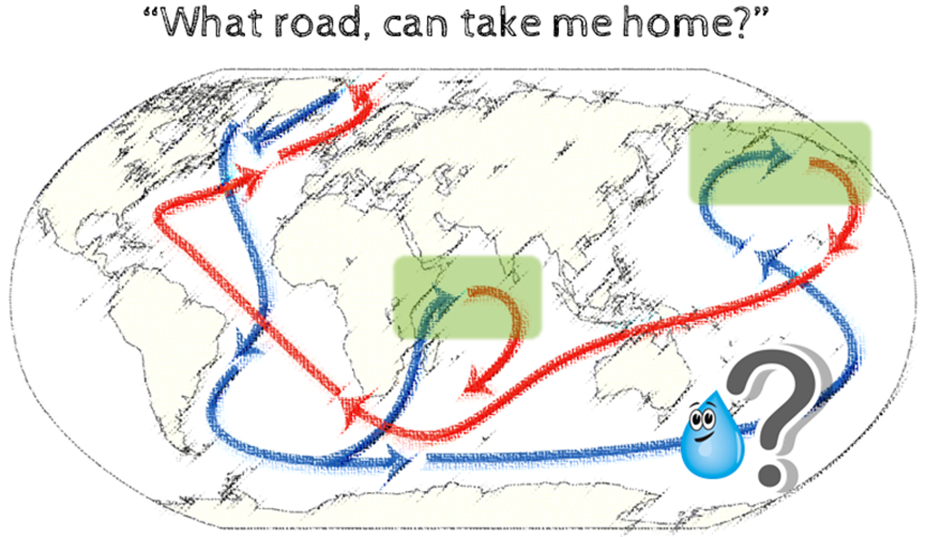
The Sunda Shelf at present forms the submerged connection between the South China Sea and the Indian Ocean through three shallow straits, namely Malacca, Karimata and Gaspar. The water depth over the shelf area rarely exceeds 50 m, and a complex bottom topography (numerous elongated depression and paleo-channels) characterized the modern sea floor.
It is clear and can no longer be denied that the rising of sea-level due to the climate change can have devastating effects on coastal communities. If global warming is not handled wisely, it is not a surprise that history will repeat itself again.
*This article is an excerpt from a proceedings and journal article in preparation by the author.
- New evidence for early Holocene transgression on the Sunda shelf, offshore eastern Peninsular Malaysia. Proceedings of XIX INQUA Congress, Nagoya, Japan. 2015.
- Evidence of early Holocene transgression and paleoenvironmental interpretation inferred from benthic foraminifera on the Sunda Shelf, offshore eastern Peninsular Malaysia. In preparation