By Mohd Fadzil Akhir
If you’re in Terengganu or Kelantan, you’re likely experiencing continuous rain this week. Rainy, cloudy and gloomy days will turn down the heat a little as the atmosphere giving ways to the cooler north-east monsoon air to stay here for the next couple of months.
But this year will be different. There is a challenging moment waiting ahead. Uncertainty of the extend of the monsoon rain with the onset of La-Nina season already makes this year’s situation very puzzling. We have to prepare for possible flooding seasons while the COVID-19 pandemic already threatens us.
Monsoon
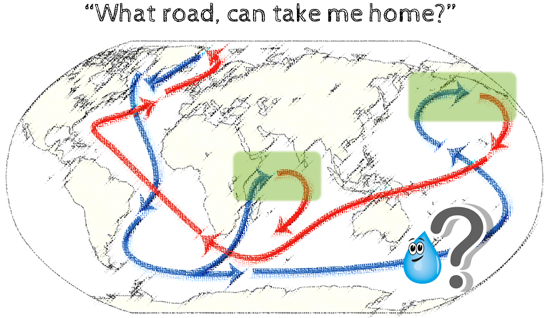
Annually starting November, cold surge from the northern Asia mainland spread into the north of South China Sea (SCS) and cold and moisture toward the south. As the moisture reaches the southern part of SCS, the east coast states as the forefront of our Peninsular is ready to receive all the thick clouds. This atmospheric motion will start forming in November and last until March.
However, this rainy period is not continuous. Instead, it spaced out into numbers of cold surges spells. Interestingly, the intensity of the rain, area affected, and the number of surges varies from year to year, making a prediction and understanding the monsoon less straightforward. These changes happen because of many reasons, and scientists refer to this as climate variability.
My most leisurely observation of this monsoon variability is by looking at the rain effect by observing the incoming road to my housing area. The road will always flood during the monsoon, but I can tell that the monsoon is a lot drier for the last two years because I have less trouble cleaning my car tire from the mud.
Averaging rainfall data from the Met Malaysia agrees with my simple observations. Data from the Institute of Oceanography and Environment (INOS) scientific ocean buoy floating offshore of Terengganu waters also reflect the same statement. The El-Nino event in the previous year seems to be the primary reason why monsoon became drier in the past.
El-Nino appears between two to seven years. It form warm conditions in the Pacific Ocean that bring warmer and drier weather conditions to Malaysia and the surrounding region. But this year, the opposite is happening. The other sibling, La-Nina, is now hitting us.
La Nina
Usually, La Niña brings much more rain than usual and a more active monsoon in Southeast Asia.
The best example is what happen last September when Kuala Lumpur and Seremban was hit hard by devastating floods. This stormy weather is a typical example of how strong La-Nina will affect our climate.
Although scientists can predict the presence of La-Nina months ahead of time, the intensity can change, and we are not sure if it will become weaker or more robust as it moves into December. A lot of research has gone into understanding the patterns of weather impacts but without any proper conclusion.
Until now, we can only get an initial picture of what global weather could look like under La-Nina’s condition but not the detail of the rainfall intensity and how it will evolve.
Recent findings found La-Nina intensified by cooler temperatures monsoon in south Asia to make things even more concerning. The report said this could be related to the reduced aerosols and greenhouse gases due to COVID-19 lockdowns across the globe.
Whether this monsoon might turn out to be the strong one or not, it is the biggest concern as we approach the peak of the monsoon season.
COVID-19
Ways to cope with monsoon floods event during this pandemic will be entirely challenging. The approach, action, and delivery might demand a significant departure from the conventional method to address the COVID-19 issue simultaneously and appropriately.
The disease mostly spread on two significant factors; seasonal weather changes (temperature, humidity) and human behavioural patterns. The extreme monsoon event might be the last thing we wish to happen, as it will tend to drive the tides of pandemic spread even stronger.
It was a relief when NADMA mentioned that it had prepared well for the coming floods event if it ever to happen. It is essential to ensure that the preparation will also consider the proper mobilization that reflects practical SOP so that there will not be any COVID-19 increase.
If the La-Nina turns out to be weaker by December, as some scientists predicted, it will be a blessing in disguise as we will expect a mild monsoon, where a regular rainy season might help us stay longer at home.
This article was first published in the New Straits Times.
Associate Prof. Dr. Mohd Fadzil Akhir
Director, Institute of Oceanography and Environment (INOS),
Universiti Malaysia Terengganu