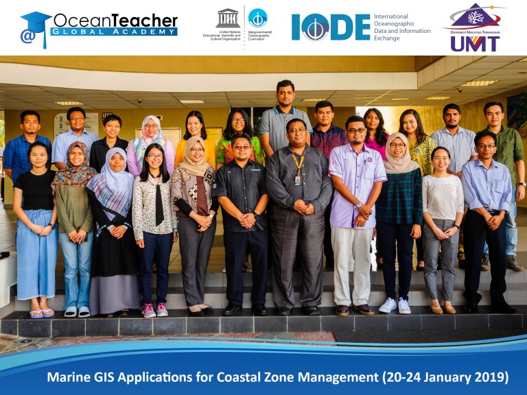
Overview
This course will focus on integrated coastal zone management, in the sense that it needs to take on board the ecological, environmental, social and economic aspects of managing a coastal area or zone. The course provides an overview and hands approach on GIS applications necessary towards integrated coastal zone management including the data acquisition, processing, analysis and interpretation of spatial data. Participants will develop and build their own case study and make a short presentation at the end of the training course.
Learning Outcomes
Course Topics

Copyright © INOS | Institute of Oceanography and Environment | Universiti Malaysia Terenganu | 2024. All rights reserved.