
Overview
The course provides an introduction for marine data managers to the application of Geographic Information Systems (GIS) to the marine environment using open source software (QGIS). This includes acquisition, processing, analysis, and interpretation of data to create products in support of marine and coastal programs. Aims and Objectives Provide an introduction to GIS for marine applications Focus on some publicly available marine datasets Show the potential applications of GIS for the marine environment Learning Outcomes Knowledge and understanding of GIS, spatial data, raster and vector models Core tasks involved in the GIS analysis process including data acquisition, management, manipulation and analysis, and presentation and output Core functionality of QGIS Creating and editing spatial data Awareness of coastal and marine GIS data applications
Target Audience
Target audiences include, but are not limited to, the following: Marine data managers Staff of NODCs working with Marine Geographic Information Systems University graduates NOTE: priority will be given to participants originating from South Eastern Asia and Pacific Islands. UNESCO is committed to promote gender equality. Therefore applications from women are strongly encouraged.
Course Pre-requisites:
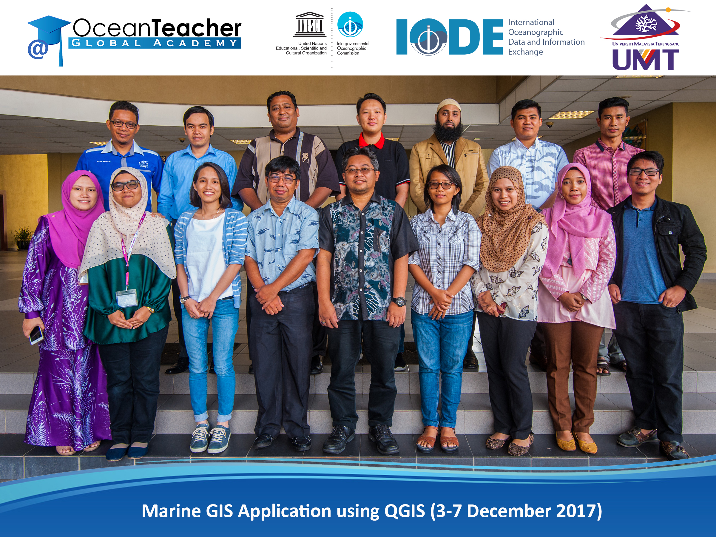
| Location | Institute of Oceanography and Environment Universiti Malaysia Terengganu (UMT), Mengabang Telipot 21030 Kuala Terengganu Terengganu Malaysia |
||||
| Notes | Application process: please fill the online application form available on https://otga.wufoo.eu/forms/otga-application-form-marine-gis-apps-qgis/ Period for Applications 7 August – 11 September 2017. Before starting filling the online application form, please make sure to have available the following: – a motivation statement (text file) of maximum 300 words; – scan of the bio page of your passport; in case you are a national of the host country a valid identification/citizen card can be used instead of the passport; – scan of the endorsement letter (in case you are asking for funding) – link to your profile on OceanExpert (www.oceanexpert.net); if you don’t have one make sure you create one in advance. The deadline to submit the application closes 11 September 2017. Do not leave for the last minute since the system will close automatically. In case you have any questions please contact the organisers well in advance: given time differences you may not get a reply to your questions immediately. Both full- and co-sponsoring are available for a limited number of participants. The selection of participants who will be sponsored will take into consideration: – Applicant country’s development status (preference will be given to LIFDCs) – Endorsement of the candidate’s application by his/her employer and any co-sponsoring – Expected impact of the training for the applicants’ institution – Possibility of any co-sponsorship (co-sponsorship is an asset for selection) In case of questions contact: OTGA Malaysia Regional Training Centre Coordinator: Aidy M Muslim (aidy@umt.edu.my ) OTGA Coordinator: Claudia Delgado (c.delgado@unesco.org) | ||||